
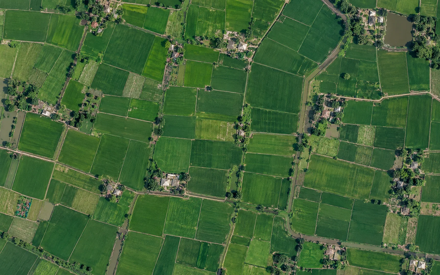
Measured / estimated
Instrument readings and observations are distinguished from modeled values and their assumptions.
Connect the field, its activities and the evidence behind every assessment. Keep context intact from collection to review.
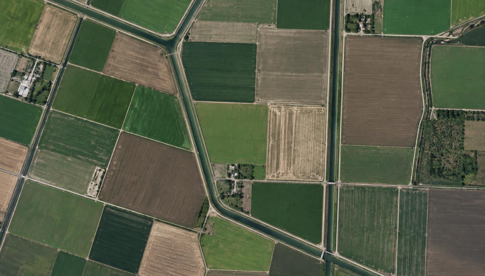
Illustrative parcel • season linked
Source context retainedPotential inputs include satellite imagery, field observations, photos, sensors and farm records. Availability and suitability depend on each program. A source is linked to its field, season, collection time and limitations.
AI supports analysis and anomaly detection. Predefined rules validate evidence against applicable criteria. Human review handles exceptions and uncertainty; AI alone does not establish the truth of a sustainability claim.
Coverage, image quality and acquisition date shape what an image can support.
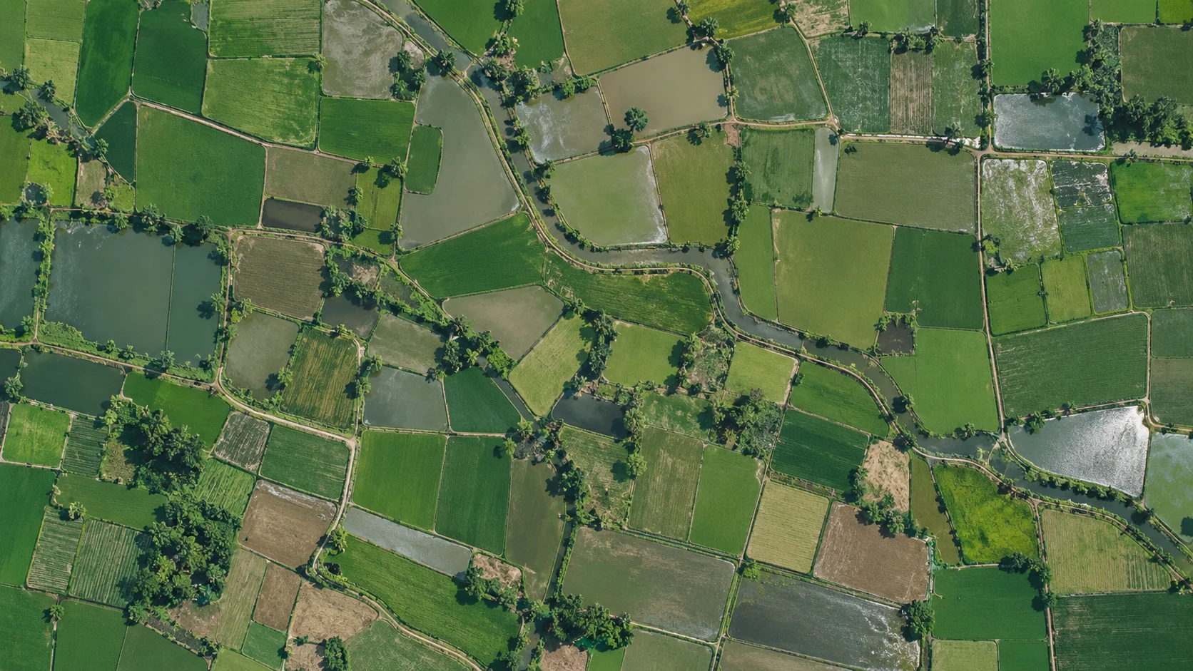 ILLUSTRATIVE SATELLITE-STYLE MOSAIC · NOT LIVE DATA
Optical imagery can be limited by cloud, timing and resolution. It does not directly measure methane or prove a field practice.
Fields, seasons, activities and claims remain connected to their sources, confidence assessments and reviewer decisions.
Read our methodology approachRecords and observations support, qualify or challenge the activity claim.
Instrument readings and observations are distinguished from modeled values and their assumptions.
A declaration is not the same as evidence supported by independent sources.
An assessment remains preliminary until the applicable review process is complete.
Platform design · capabilities described below are proposed unless explicitly identified as available. Product examples are illustrative, not live monitoring or verified results. Implementation and integrations are agreed for each program.
A reliable assessment starts with an identifiable field. The proposed registry connects a stable field identifier and mapped boundary to area, location, the participating farm or organization and appropriate permissions. Crop and activity records belong to a particular season; field identity persists as those seasonal records change.
The public field passport is a sample. Account records and exports are available separately to authorized users.
Suitable satellite datasets can add observation dates, boundary overlays, vegetation or land-surface indicators and change observations to a field record. Weather and environmental datasets can supply context where relevant. Each observation needs spatial alignment and a documented processing method.
Remote sensing cannot independently prove every agricultural practice. Dataset availability and authorized integrations are program-dependent.
Observations, photographs, activity logs, documents and instrument measurements should retain their collection method, source and time. An authorized sensor integration also needs device identity, units and calibration context. Records connect to the correct field, season and activity rather than becoming an unstructured attachment archive.
Photo and sensor integrations are proposed; this website does not claim that every described collection channel is connected.
Field → Season → Activity → Evidence → Claim → Assessment → Review → Report. A field can have many seasons, a season many activities and an activity multiple source records. A claim may require independent corroboration. An assessment records the criteria and methodology version applied, and a report keeps links to the decision and its sources.
A graph expresses provenance and relationships; it does not guarantee that a claim is true.
Potential AI functions support reviewers rather than replace them. Imagery classification takes suitable dated imagery and produces proposed categories; validation needs labeled reference data and checks appropriate to the crop and conditions. Pattern detection compares authorized records and surfaces anomalies for inspection.
These are potential applications, not claims of deployed or independently validated AI. No model score alone establishes an environmental claim.
Proposed validation checks whether evidence is present, the record belongs to the correct field, observations fall inside the reporting period, units and ranges are appropriate and the required methodology version is applied. Conflicts should be surfaced, not silently discarded.
These example states describe the intended workflow, not an assertion that the operational workspace implements it today.
Intended outputs include field assessments, program summaries, missing-evidence lists, exception queues and source-linked evidence packages for authorized reviewers. Output formats and external integrations depend on agreed requirements and available implementation.
All views use the same illustrative A-024 practice claim. No live operational data is exposed.
Illustrative parcel • season linked
Source context retainedTalk with The Carbon Credit about a DSR program, field evidence requirements, research collaboration or a potential project partnership.