
PRINCIPLE 01
Evidence provenance
Retain the source, collection time, field context and transformations behind each record.
Our evidence principles guide how records are organized and reviewed. Applicable methods and verification criteria must be defined for each program.
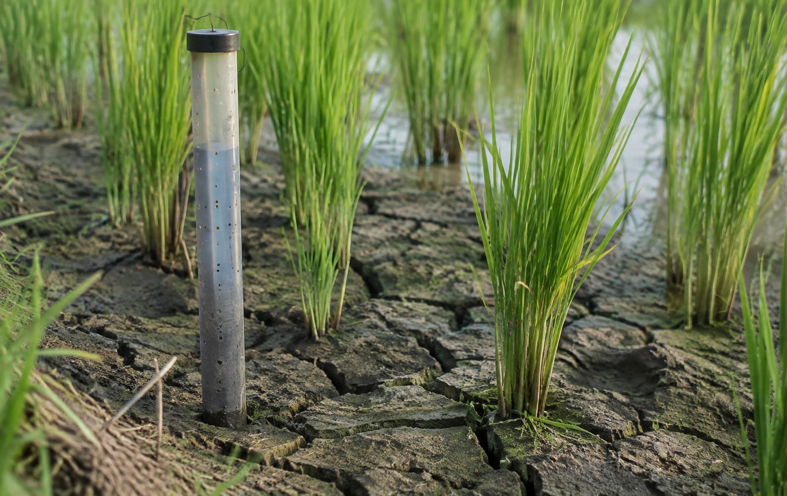
Retain the source, collection time, field context and transformations behind each record.
Make completeness, consistency, uncertainty and limitations explicit. Confidence is not certification.
Keep reviewer decisions and their rationale connected to the evidence they assess.
Respect purpose-specific permissions and restrict sensitive farmer and field information.
AI supports pattern analysis and anomaly detection. Rules check evidence against applicable criteria. Human reviewers handle exceptions and uncertain cases, recording the rationale for their decisions.
Measured values remain separate from estimates. Self-reported activities remain separate from independent corroboration. Preliminary assessments remain separate from verified results. A verified assessment does not by itself issue a carbon credit or grant a certification.
Program-specific assumptions, method versions, quality checks and limitations should accompany any published assessment. No certification, accreditation or independent validation of The Carbon Credit is claimed on this website.
Imagery supports field interpretation when its coverage, acquisition window and quality are suitable.
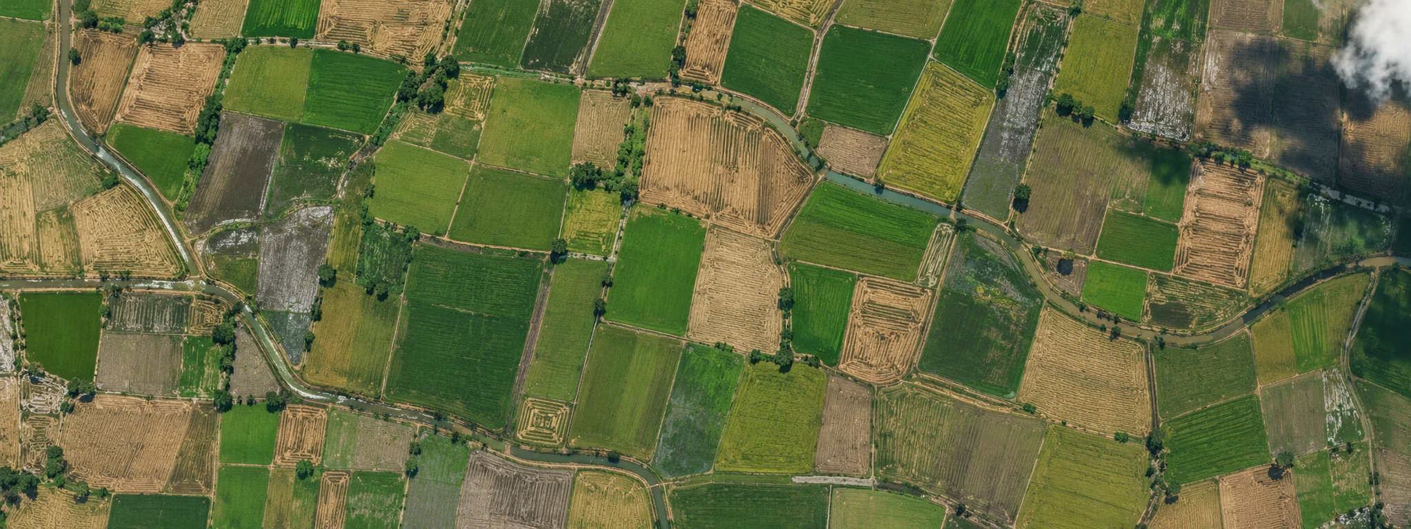 ILLUSTRATIVE SATELLITE-STYLE MOSAIC · NOT LIVE DATA
Optical imagery can be limited by cloud, timing and resolution. It does not directly measure methane or prove a field practice.
Platform design · capabilities described below are proposed unless explicitly identified as available. Product examples are illustrative, not live monitoring or verified results. Implementation and integrations are agreed for each program.
Traceability connects a claim to its sources and method. Relevance requires the correct field, activity and period. Completeness makes missing required information visible. Consistency surfaces conflicting observations. Reproducibility retains rules, calculations and method versions. Accountability records consequential decisions and changes.
Each source type needs metadata appropriate to its collection method. A proposed source registry preserves both useful context and interpretation boundaries.
Different claims require different methods. A methodology record should state its claim or indicator, eligible crops and contexts, input requirements, baseline and comparison rules, calculations, treatment of missing data, uncertainty, acceptance criteria and review responsibilities.
This is a proposed registry structure, not a published accredited methodology.
Missing references and duplicate observations can be flagged through structural checks; a reviewer must determine whether sources are redundant or contradictory. Dates outside the reporting window and spatial mismatches require correct association or replacement evidence. Inconsistent units need normalization with source retention.
Evidence completeness, source quality, agreement, measurement uncertainty and methodology compliance should remain separate from final status. Authorized reviewers inspect records, request information and record rationale. A proposed audit trail captures actions, actors, timestamps and changes to material decisions.
A future numeric score would need a published definition and validation basis. Confidence is not certification.
Illustrative claim: a specified rice practice was implemented in the demonstration season. Required evidence: registered boundary, dated activity log and corroborating observation within the relevant window. Received: boundary and self-reported log. Missing: suitable corroborating observation.
This is not a production methodology or real field result. No environmental benefit has been calculated.
Collection, retention, sharing and publication require purpose-specific permissions. An authorized report should expose only the sources necessary for the recipient’s responsibility. Public case studies need separate approval and protection for identifiable participants and precise field locations.
Talk with The Carbon Credit about a DSR program, field evidence requirements, research collaboration or a potential project partnership.