
Start with the farmer
A farmer profile links land and crop information to the right FPO.
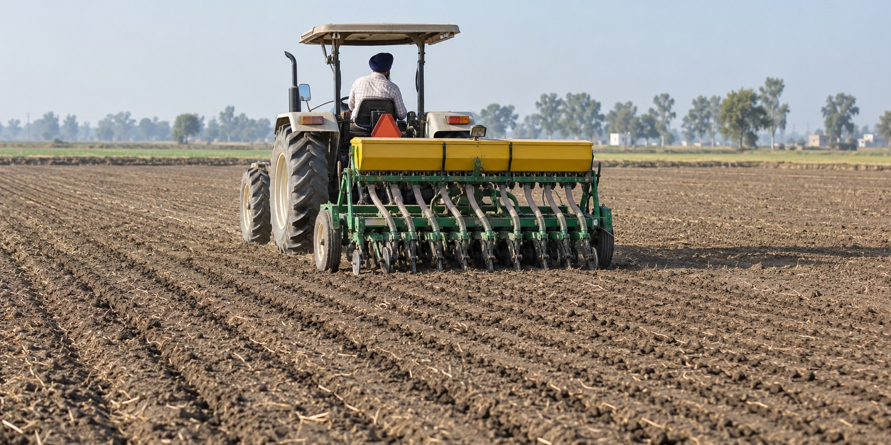
Connect the farmer, surveyed boundaries, seasonal activities and verified evidence in one record. The field passport keeps the context behind each assessment together.
Explore the workspace ↗The record shown is a sample, not a live farmer record.
Declared and surveyed area pass the band check
A farmer profile links land and crop information to the right FPO.
Field photos, stages and GPS checks bring practices into the record.
Review evidence and flags, and export records for audits.