Build agricultural carbon projects on field-level evidence.
Flooded rice fields can release methane as microorganisms break down organic matter in oxygen-depleted soils. The Carbon Credit connects farming practices, field records and geospatial observations through methodology-specific MRV workflows. Our initial agricultural project focus is Direct Seeded Rice in Punjab.
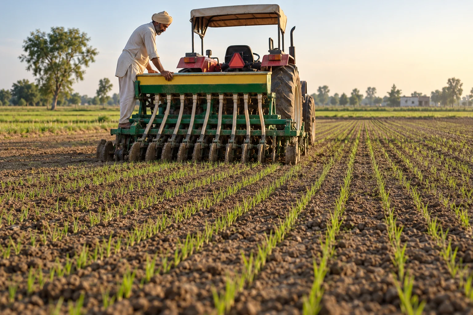
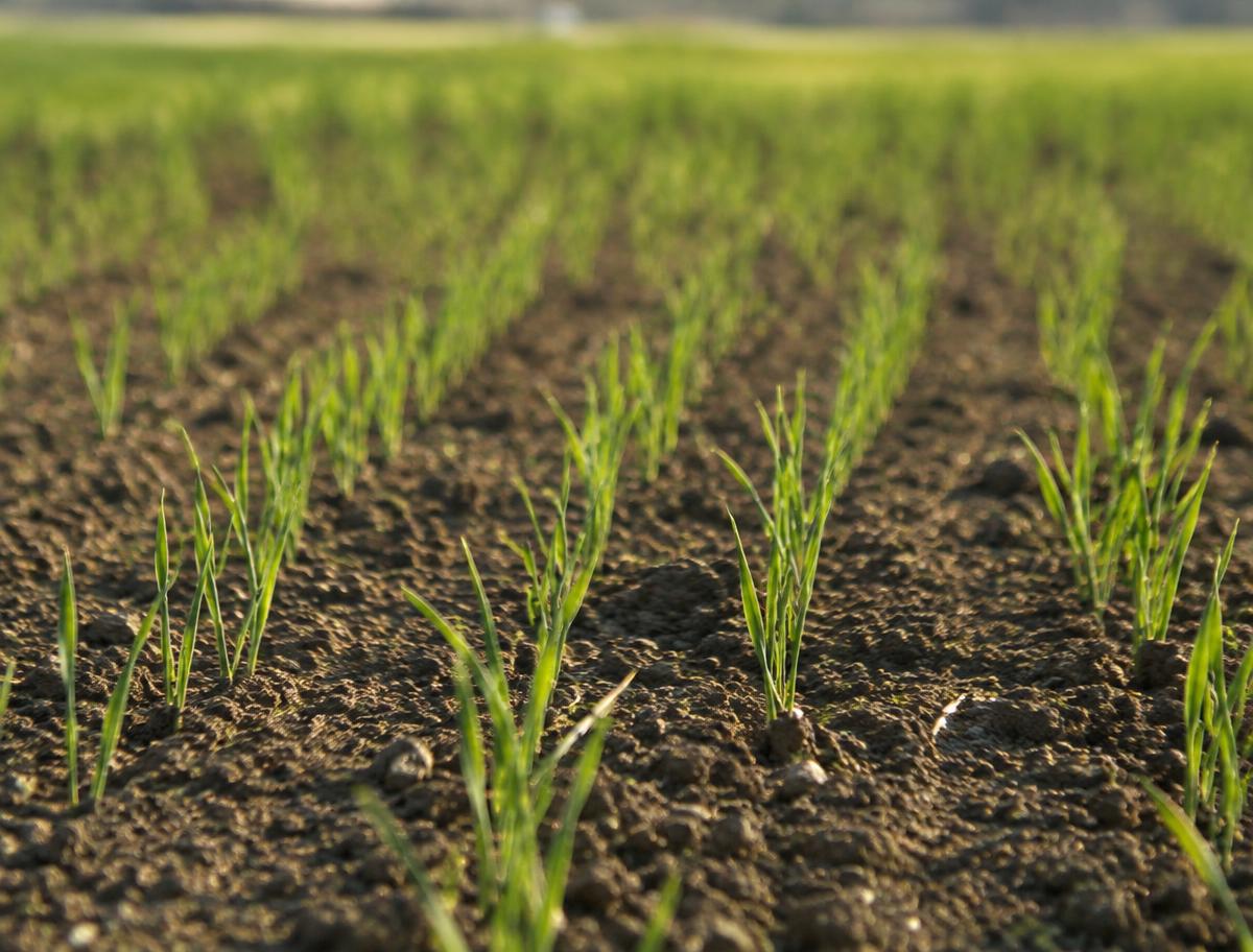
Illustrative direct-seeded crop rows · no project data
WHY RICE METHANE MATTERS
Water management can change the emissions profile.
When fields stay flooded, soil oxygen falls and microbes produce methane, which escapes through the soil and rice plants. Interrupting continuous flooding can reduce emissions under suitable conditions.
But adopting a practice is only the first step. A credible claim documents what happened, defines what would have happened otherwise, and quantifies the difference under an applicable methodology.
The Carbon Credit’s role: connect those records into an evidence trail that can be assessed and independently reviewed.
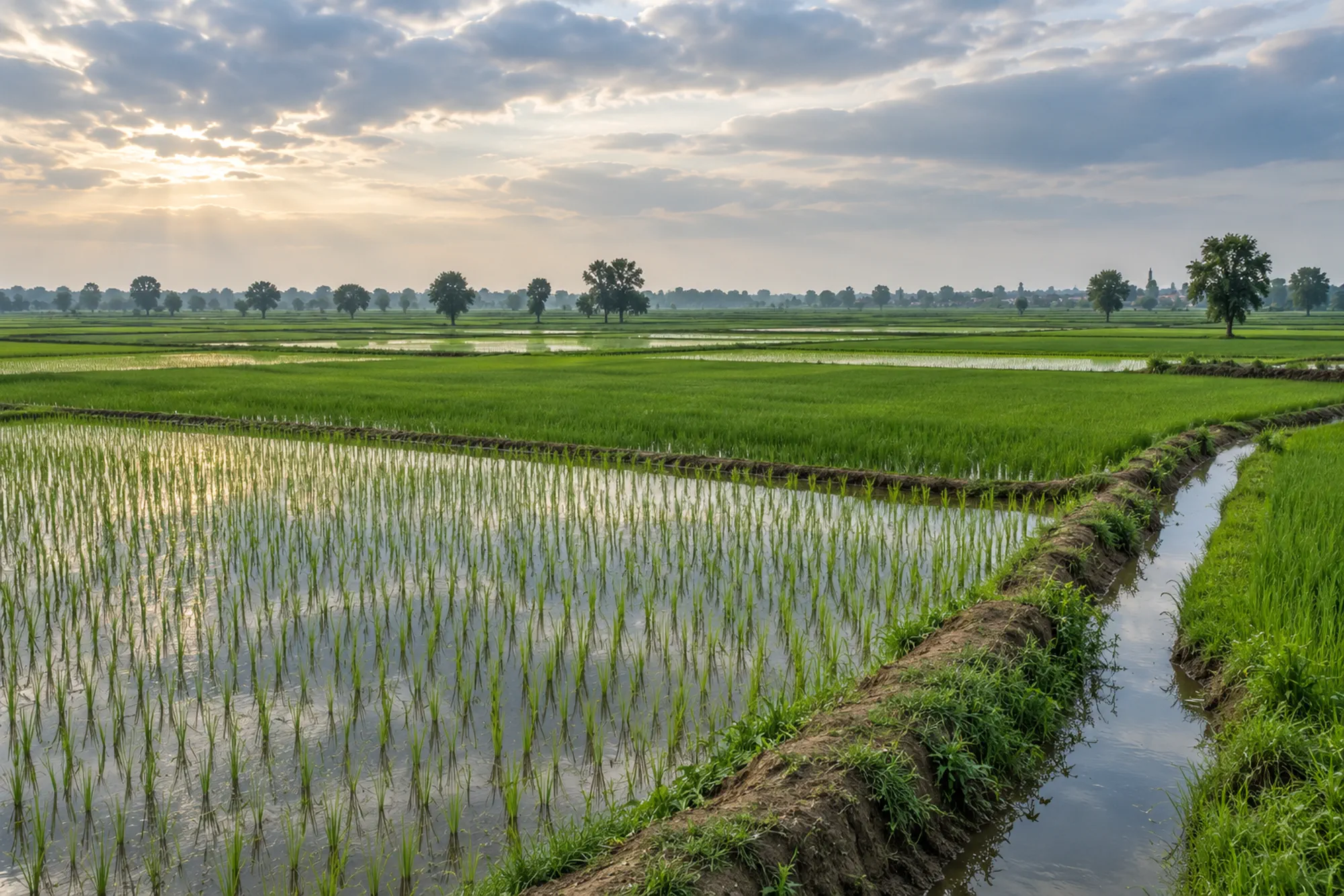
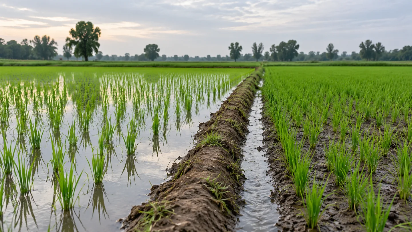
Illustrative rice-field conditions · no methane measurement shownWATER REGIME · FIELD CONTEXT
DSR & RICE METHANE, EXPLAINED
From a change in the field to a credit.
Evidence that a practice changed does not, by itself, prove a quantity of methane was avoided. Every stage matters.
CONTINUOUS FLOODING
Water seals the soil. Oxygen runs out and microbes break down organic matter into methane, which escapes through water and plants.
DRYING PERIOD
Partial drying lets oxygen back into the soil, which can interrupt methane-producing conditions — depending on soil, climate and management.
Schematic illustration · not to scale and not measured data.
STAGE 01 OF 05
Practice
A farmer adopts a practice such as alternate wetting and drying. On its own, this is a change in management, not yet a climate outcome.
CROP ESTABLISHMENT & WATER
Document the practice and its conditions separately.
Direct seeding changes how rice is established; it does not define irrigation or field water conditions.
CROP ESTABLISHMENT · WATER REGIME IS A SEPARATE CHOICEField schematic
01 / TRANSPLANTEDNursery → prepared fieldSeedlings move from a nursery into the field.
02 / DIRECT SEEDEDSeed → field rowsSeed is placed directly into prepared soil.
↗
Establishment ≠ water management. Sowing method alone does not show how a field was irrigated or how long it remained flooded.
Schematic only. Field preparation, water conditions and management vary; any emissions comparison needs an applicable method and field evidence.
PRACTICES WE HELP DOCUMENT
Three practices, one evidence standard.
Which practices are eligible, and how they are measured, depends on the methodology a project applies.
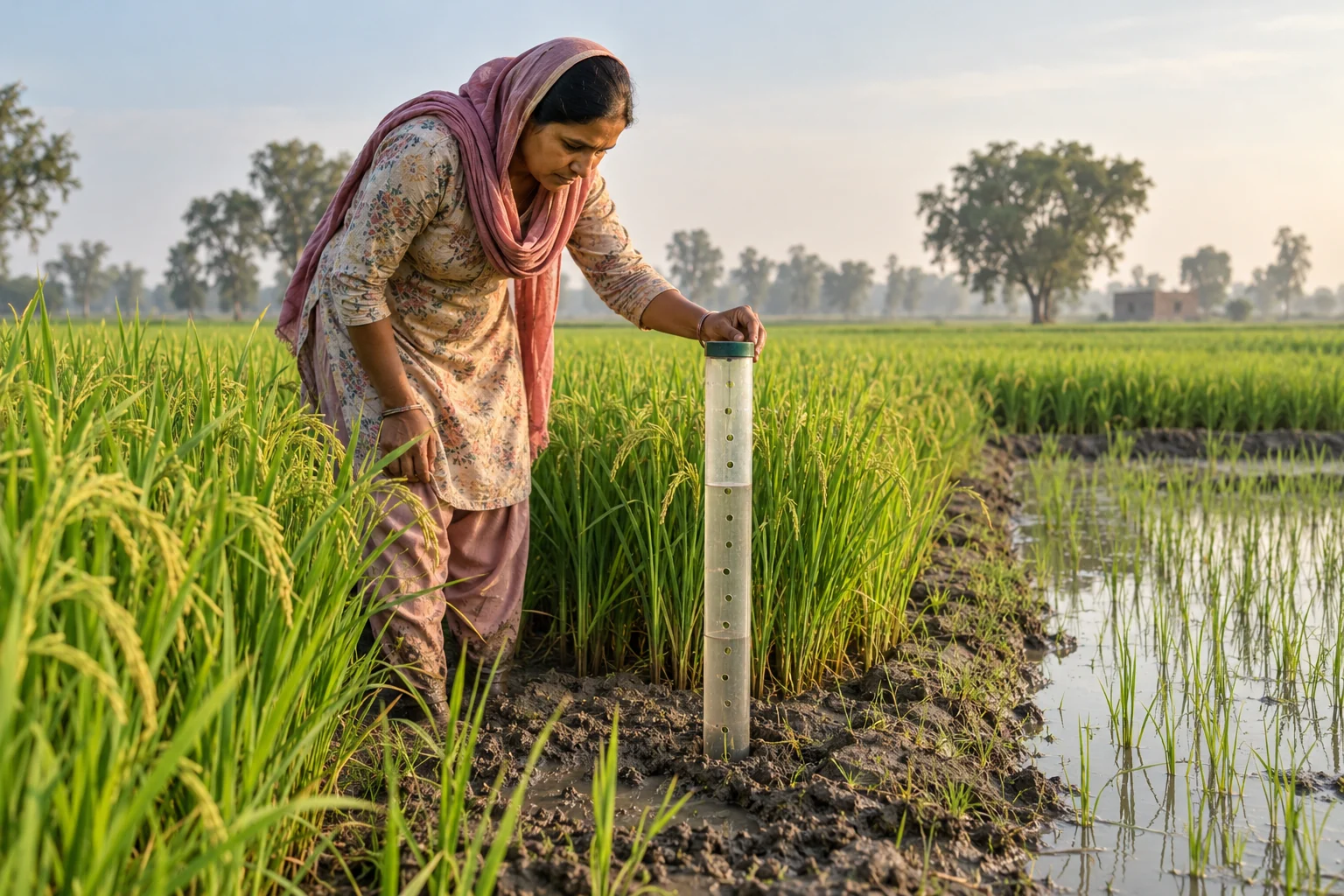
01AI-generated illustration · a water tube records water level, not methane.
01
Alternate Wetting and Drying (AWD)
Manage flooding. Document the water regime.
Fields dry partially between irrigations instead of staying flooded all season. Depending on conditions, this can shorten anaerobic periods and lower methane. A field water tube helps decide when to irrigate.
EVIDENCE TO ORGANISE
Field registration and crop season
Dated water-level readings and photos
Irrigation and drying-period records
Field-agent visits
Satellite context
Missing or inconsistent observations
What this supports: Whether the documented water practice was implemented to the project’s requirements. It does not by itself establish methane reductions.
02AI-generated illustration · direct seeding changes crop establishment.
02
Direct Seeded Rice (DSR)
Change establishment. Document what changes.
Seeds are sown directly instead of transplanting into puddled soil. DSR can change water needs and flooded duration, but it does not automatically guarantee lower methane — outcomes depend on management and methodology.
EVIDENCE TO ORGANISE
Field boundaries and season registration
Sowing dates and establishment method
Field observations of reported practice
Irrigation records where required
Satellite crop-development context
Deviations from intended practice
What this supports: A traceable record of crop establishment. Methane effects must be evaluated separately.
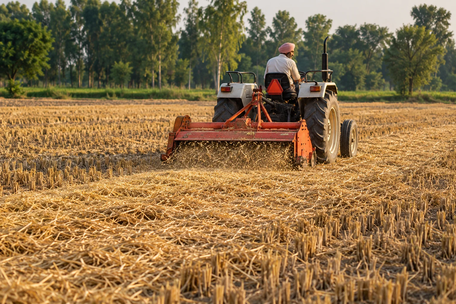
03AI-generated illustration · residue handling varies by field and season.
03
Residue and Straw Management
Document how organic material is handled.
Straw decomposing under flooded, oxygen-limited conditions can feed methane production. Effects depend on quantity, timing, incorporation and removal — so each field’s actual practice must be recorded, not assumed.
EVIDENCE TO ORGANISE
Reported residue activities
Field observations and photos
Activity dates and season records
Inspection records
Missing or inconsistent documentation
What this supports: Documentation of reported and observed practice. Reductions must be quantified under a methodology that covers it.
THE EVIDENCE BEHIND A CARBON CREDIT
A credit is only as credible as its evidence.
Projects need a defined boundary, a baseline, monitoring evidence, calculations and independent assessment. The Carbon Credit keeps gaps and assumptions visible.
01
Field registration and consent
Each field needs a reliable identity linked to its season, project and practice, plus participation and consent records. A registered field is not automatically eligible.
02
Water-management observations
Water-tube readings, dated photos, irrigation logs, agent visits, sensors where available and satellite support — each with source, time and context. Gaps are flagged, not treated as compliant.
03
Remote-sensing context
Satellite data helps characterise crop development and surface conditions over time. It is supporting context, not definitive proof of irrigation events or methane.
04
Baseline and project scenario
Baseline conditions, project boundary, eligible fields, monitoring period, emission factors, uncertainty and deductions — all set by the selected methodology.
05
Emissions quantification
The methodology’s calculation estimates the difference between baseline and project emissions. An estimated reduction is not a verified reduction or an issued credit.
06
Review and audit trail
Completeness checks, anomaly flags, calculation references, documented review decisions and versioned history so a reviewer can trace any claim back to its records.
FIELD BY FIELD · SEASON BY SEASON
Make agricultural methane claims easier to investigate, substantiate and review.
SATELLITE INTELLIGENCE · SUPPORTING CONTEXT
Read the landscape across observation windows.
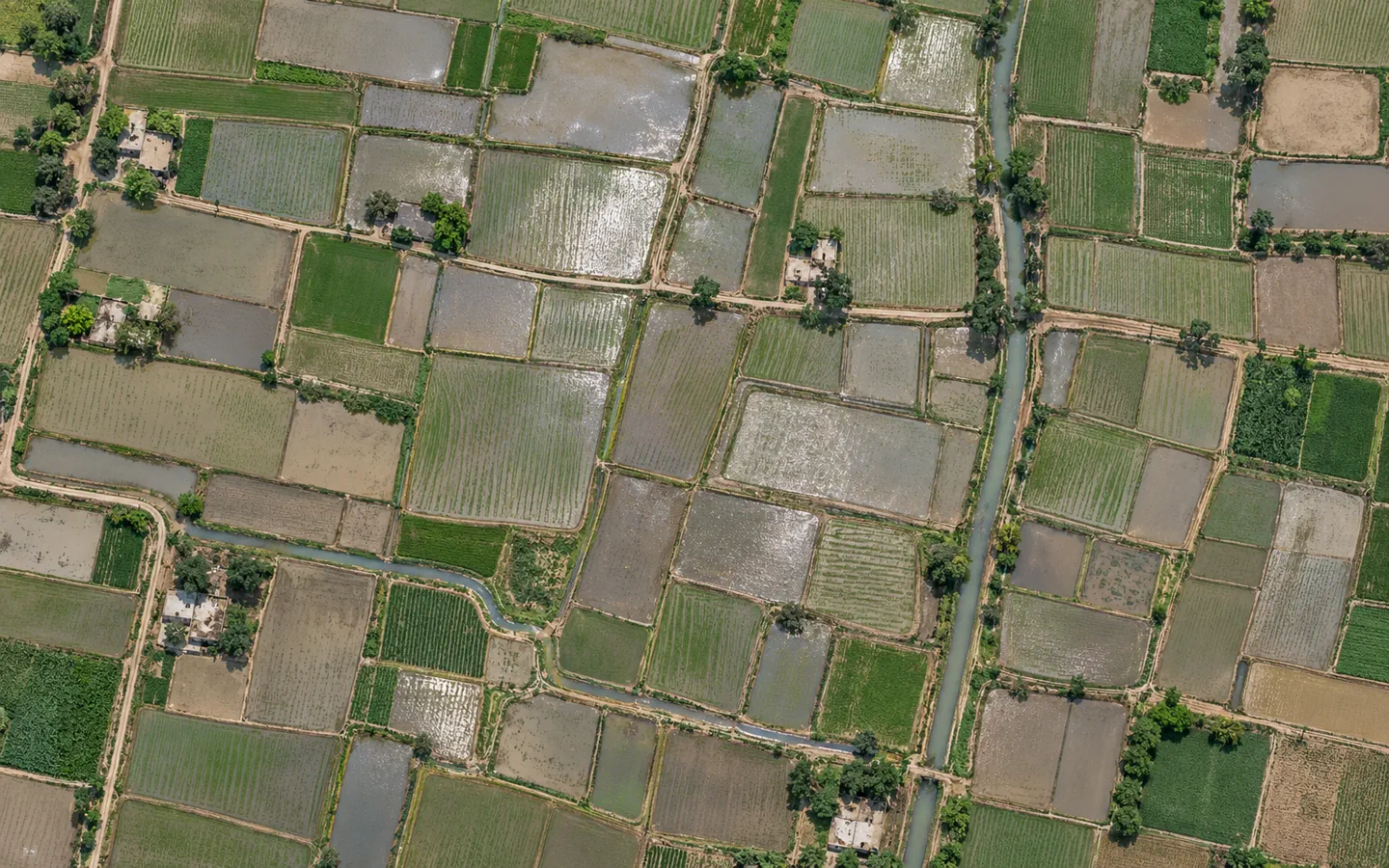
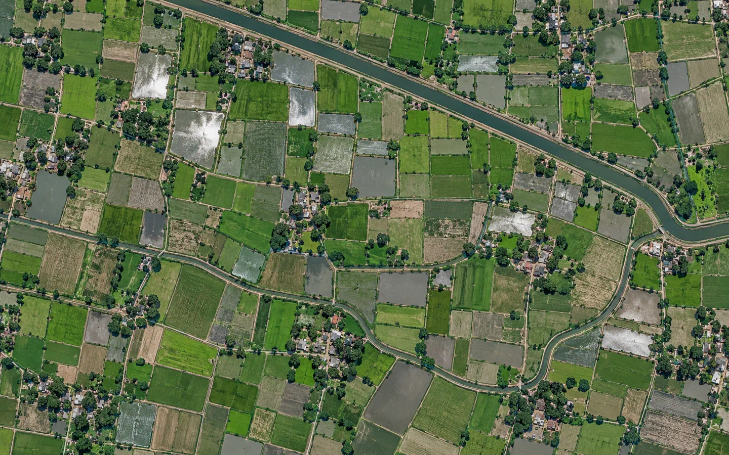
Parcel boundaries, visible water and seasonal crop patterns can help reviewers ask better questions. Each observation still needs suitable timing, image quality and field records.
FIELD BY FIELD · SEASON BY SEASONIllustrative imagery · not a live comparison
SURFACE WATER CONTEXT
Tile AParcel edges · water visible
CROP & CHANNEL CONTEXT
Tile BSeasonal patterns · channels
Mapped boundaryObservation path
Two distinct illustrative tiles. They are not the same parcel, date sequence or project record.
Satellite observations can add spatial and seasonal context when coverage, timing and image quality are suitable. They do not directly measure methane or prove a field practice.
FROM PADDY TO CARBON REGISTRY
How a rice methane project progresses.
Exact requirements depend on the selected standard, methodology, project design and registry.
PROCESS DISCOVERY · KEEP EACH DECISION DISTINCT
AGRICULTURAL CARBON · A SEPARATE-STAGE PROCESSIllustrative pathway
01PracticeDocument field activity
02BaselineDefine the comparison
03MonitorCollect dated evidence
04∑QuantifyEstimate under a method
05✓VerifyIndependent assessment
06↗IssueRegistry decision, if eligible
Verification and issuance are different decisions. A documented project does not guarantee either.
Each stage has its own evidence requirements, decision-maker and limits. Actual requirements depend on the selected program and methodology.
WHAT WE DO AND DON’T CLAIM
Clear about our role.
What The Carbon Credit does
Organises field records and consent documentation
Connects field observations with geospatial information
Tracks practices and required evidence
Flags missing, inconsistent or anomalous records
Supports traceable monitoring and calculation workflows
Prepares evidence packages for independent review
What The Carbon Credit does not do
Issue or certify carbon credits
Guarantee a field or project qualifies for crediting
Guarantee reductions, credit price or revenue
Replace independent validation and verification
Treat satellite imagery or AI output as proof on its own
Claim a reduction without adequate evidence
Current status: This page does not represent a specific project outcome or credit issuance. Estimates are illustrative and do not guarantee eligibility, issuance, price or revenue.

 01